LOCATING THE DIGITAL DIVIDE ACROSS NEW YORK CITY

URBAN INFORMATICS
COLUMBIA UNIVERSITY, GRADUATE SCHOOL OF ARCHITECTURE, PLANNING, AND PRESERVATION
TEAM: MIA WINTHER-TAMAKI, TIFFANY VIEN, EVE PASSMAN
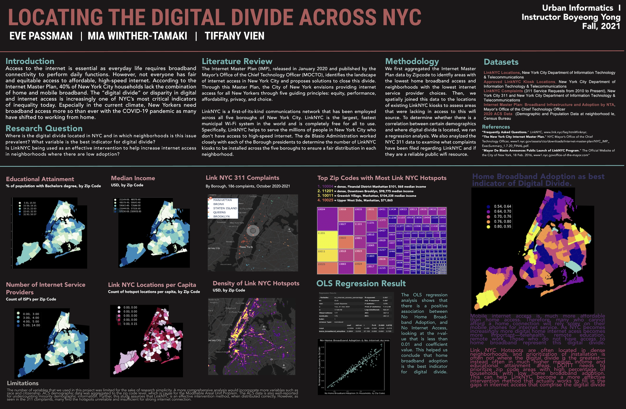
This project identifies the spatial gaps in digital infrastructure throughout New York City. Using publicy available data from the NYC Open Data Portal, we assessed the spatial relationship between neighborhoods with differing socioeconomic and demographic factors, to their proximity to digital infrastructure such as WiFi Hotspots and Internet Service Providers' broadband cable. Using Python programming, we created multiple data visualizations, including a tree and heat map, and conducted a regression analysis.